In September I posted about the NASA run NSERC Student Airborne Research Program, which Exelis VIS supports with ENVI and IDL software. Today I’d like to talk about a new program that Exelis VIS will also be supporting, NASA DEVELOP.
According to NASA, “DEVELOP bridges the gap between NASA Earth Science and society, building capacity in both its interns and partner organizations to better prepare them to handle the challenges that face our society and future generations.” It is a shining example of an outreach program that advances scientific understanding for the public.
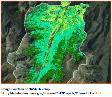
If you are a fan of imagery, I would recommend checking out their website where they share a large number of exciting virtual posters and video segments. I found the Projects section very interesting – it’s a place where you can view great images and learn about topics such as Climate and Weather, Ecological Forecasting, and Water & Oceans, to name just a few. As an avid hiker in my home state of Colorado, I resonated with the “Assessing Mountain Pine Beetle Impacts on Forest Stand in Fraser Forest” project.
Take a look through their site and share the projects examine topics that impact your life.


Pingback: Summer Geospatial Workshops Gearing Up | ImagerySpeaks